 Ahmadreza Samadi / Home
Technology and proptech, explained
How does a laser scan become a building record?
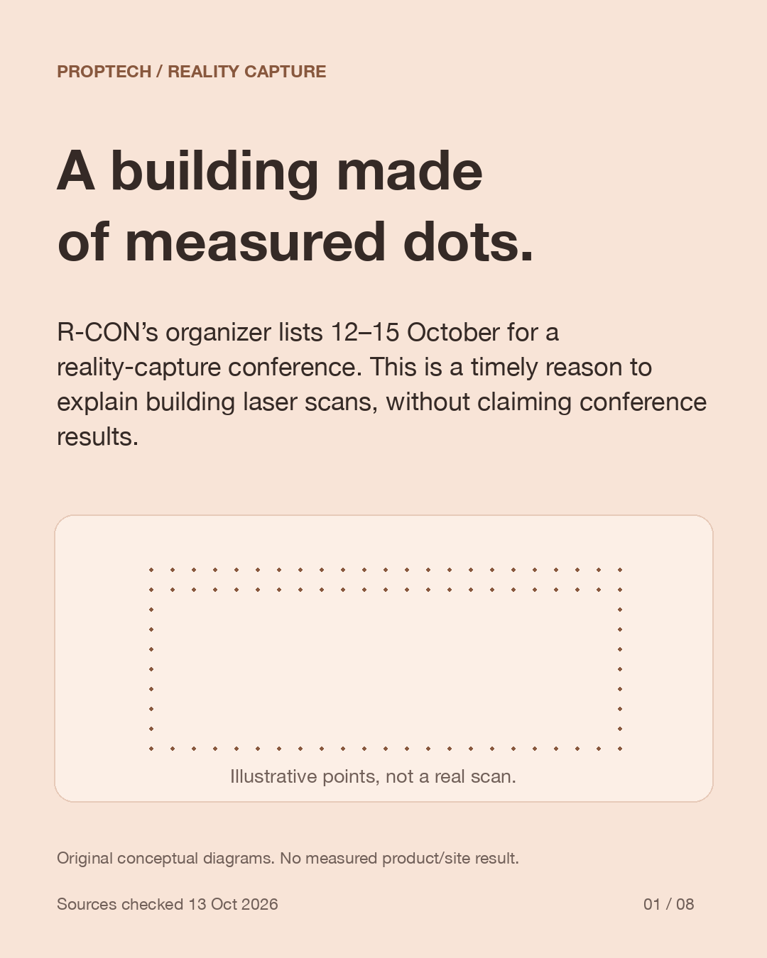
R-CON’s organizer lists 12–15 October for a reality-capture conference. This is a timely reason to explain building laser scans, without claiming conference results.
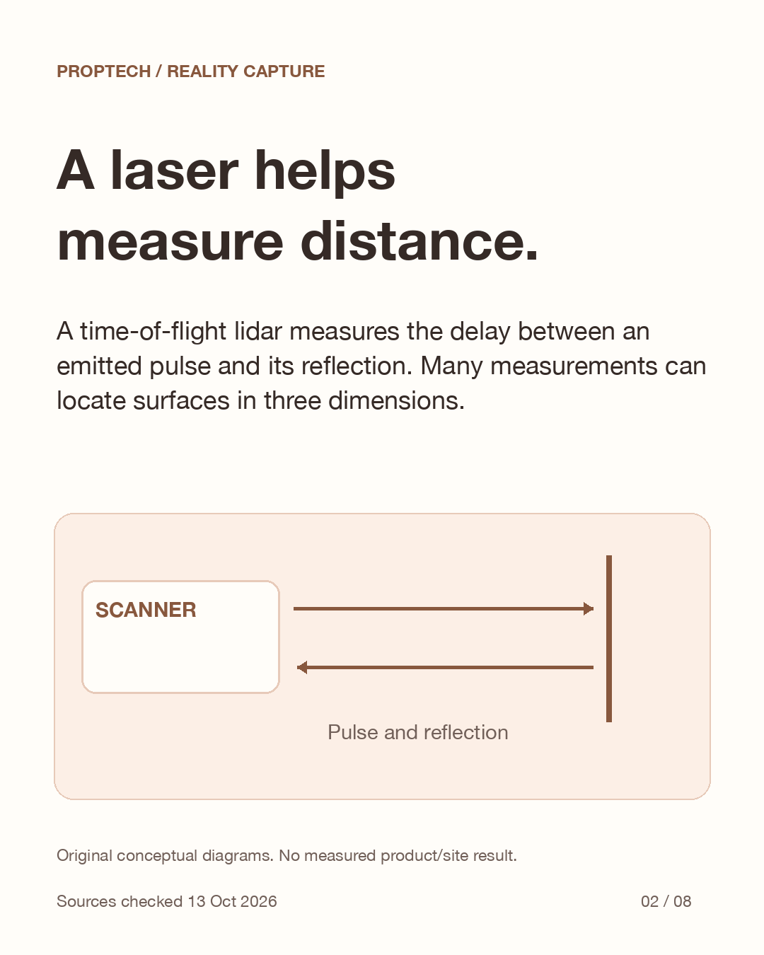
A laser helps measure distance.
A time-of-flight lidar measures the delay between an emitted pulse and its reflection. Many measurements can locate surfaces in three dimensions.
Check the record before the decision.
Our original handoff questions: when was it captured, what is missing, how was it aligned, and what independent checks support the intended use?
A useful record. A bounded claim.
Use the scan as evidence for a defined question. It does not certify structural safety, hidden services or universal accuracy. No real building was surveyed for this post.
A building made of measured dots.
R-CON’s organizer lists 12–15 October for a reality-capture conference. This is a timely reason to explain building laser scans, without claiming conference results.
A laser helps measure distance.
A time-of-flight lidar measures the delay between an emitted pulse and its reflection. Many measurements can locate surfaces in three dimensions.
Source: USGS: Lidar glossary · Leica: Cyclone REGISTER
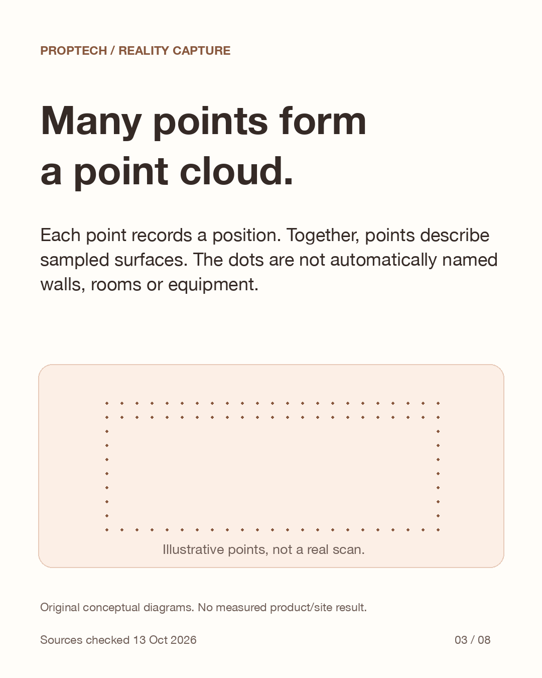
Many points form a point cloud.
Each point records a position. Together, points describe sampled surfaces. The dots are not automatically named walls, rooms or equipment.
Source: USGS: Lidar glossary · Leica: Cyclone REGISTER
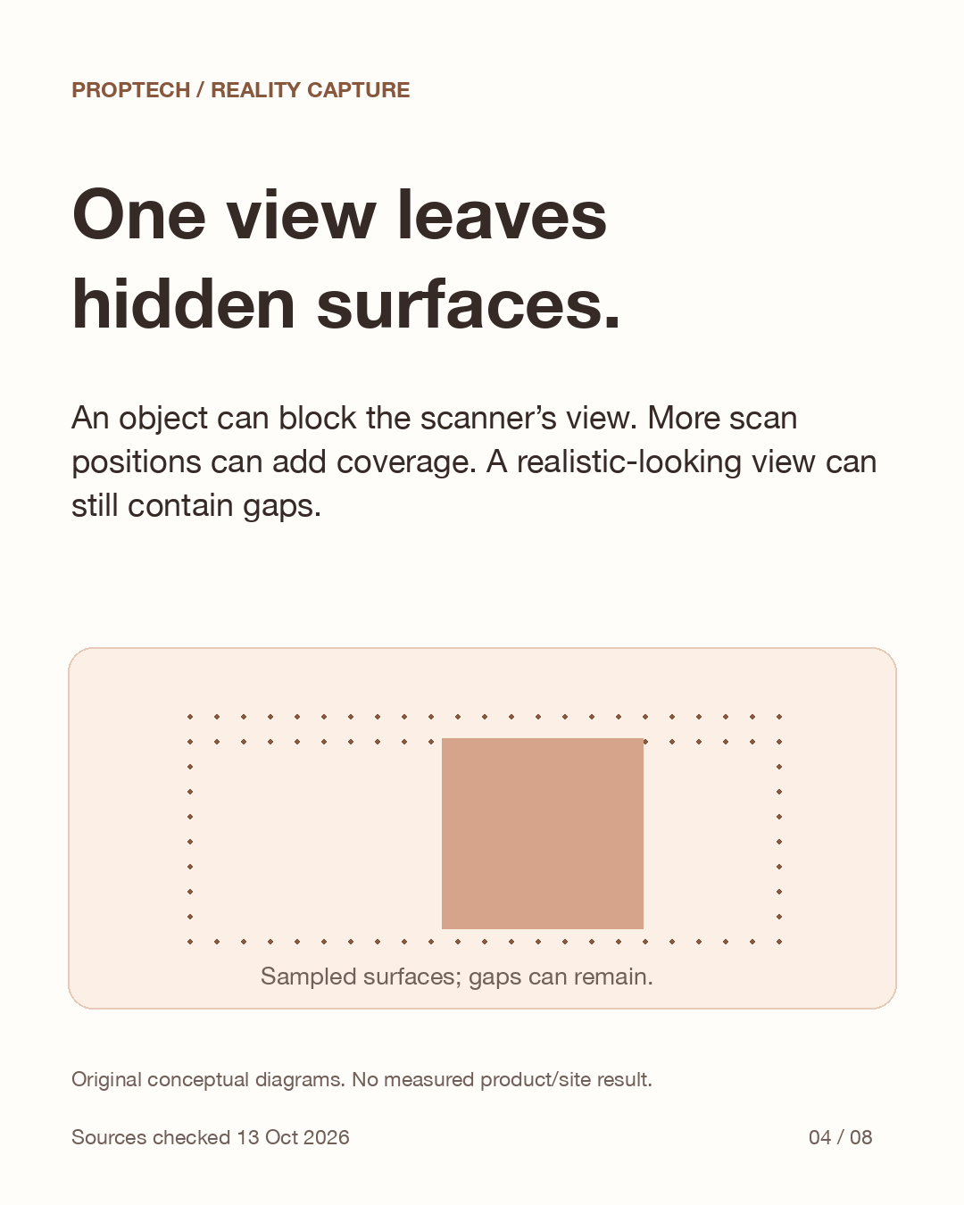
One view leaves hidden surfaces.
An object can block the scanner’s view. More scan positions can add coverage. A realistic-looking view can still contain gaps.
Source: USGS: Lidar glossary · Leica: Cyclone REGISTER
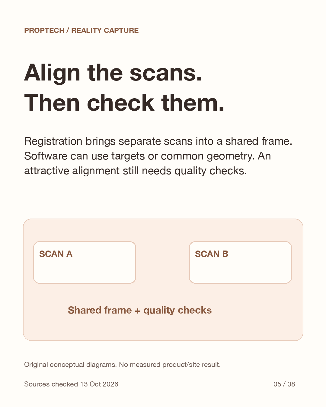
Align the scans. Then check them.
Registration brings separate scans into a shared frame. Software can use targets or common geometry. An attractive alignment still needs quality checks.
Source: USGS: Lidar glossary · Leica: Cyclone REGISTER
Points are not a finished BIM.
Building Information Modelling adds interpreted objects and information. Turning points into that model requires choices and review. A scan alone is not a live digital twin.
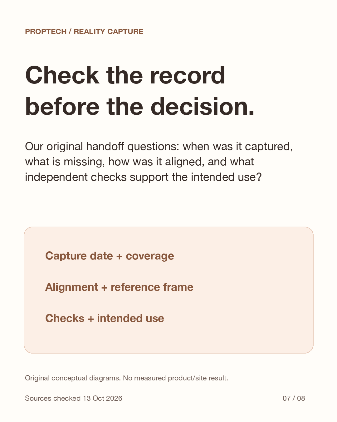
Check the record before the decision.
Our original handoff questions: when was it captured, what is missing, how was it aligned, and what independent checks support the intended use?
Source: USGS: Lidar glossary · Leica: Cyclone REGISTER
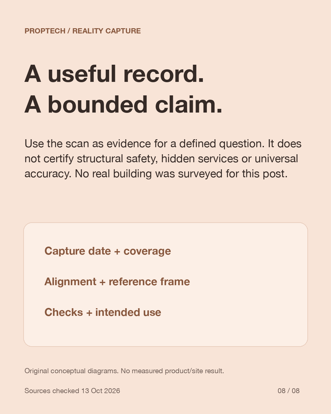
A useful record. A bounded claim.
Use the scan as evidence for a defined question. It does not certify structural safety, hidden services or universal accuracy. No real building was surveyed for this post.
Source: USGS: Lidar glossary · Leica: Cyclone REGISTER
See the explanation in slides
These original diagrams explain the mechanism. The carousel is in English.
View all 8 English slides

Download the English carousel PDF
Sources
Primary sources checked on 2026-10-13. Dated announcements and operator reports are attributed in the explanation; availability and terms can change.